Field notes: the inlet that moved faster than anyone's model said it would
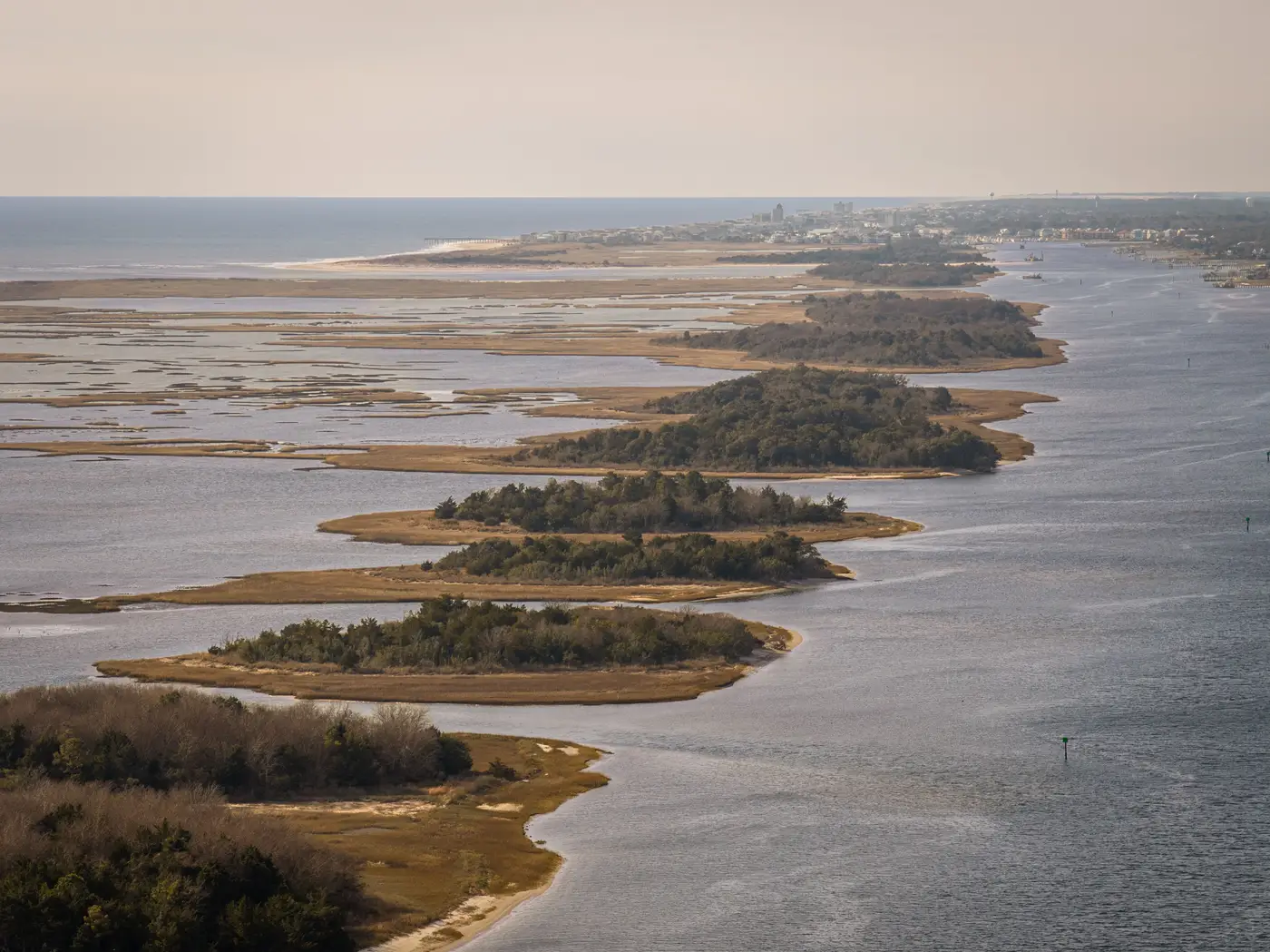
Every coastal program has one of these on the books somewhere: an inlet that was supposed to behave for another decade and didn't. The longshore transport numbers checked out. The one-line model ran clean. Then a storm season, or sometimes just two ordinary winters back to back, and the throat has shifted a hundred meters updrift of where the last engineering report said it would sit in 2030.
This isn't a knock on the modelers. One-line and two-line models are built on averaged transport rates, a stable inlet cross-section, and the assumption that the shoal out front bypasses sediment the way it did the last time someone measured it. Inlets don't read the assumptions. A dredging cycle gets delayed by a budget year, a shoal attaches to the downdrift spit instead of breaching, a nor'easter stacks on top of a king tide, and the channel finds a new line through the barrier that the calibration dataset never saw coming.
The physics hasn't changed. These programs now catch the shift more often, while it's still cheap to react to.
The old rhythm was a cross-section survey every few years, maybe after a named storm if the budget allowed an emergency mobilization. That cadence is fine for tracking a slow, linear retreat rate along an open beach. It's close to useless for an inlet, because inlet migration isn't linear. It sits still for a few seasons, then jumps. If your last ground survey was 2023 and your next one is scheduled for 2026, you find out about the jump the same way everyone else does: when a property owner calls, or when the channel marker needs to move, or when the ferry captain starts complaining about shoaling in the approach.
An annual pass closes most of that gap without closing all of it. The storm itself slips through. What gets captured is where the waterline settled afterward, every year, on the same schedule, whether or not anything dramatic happened that season. That turns inlet tracking from an event-response exercise into a baseline you already hold before the next event hits. When the throat moves faster than the model predicted, pulling up last year's line against this year's line gives you the jump measured the same afternoon someone asks, no debate needed about whether it moved.
The segment-by-segment framing matters more at inlets than almost anywhere else on the coast. An open beach retreats or accretes at a rate that's roughly uniform across a long run of shoreline, but an inlet does the opposite thing on either side of itself at the same time. Updrift, sediment piles against the jetty or the spit; downdrift, you get starvation and retreat, often within a few hundred meters of that updrift gain. Report that stretch as one average rate and you erase the exact signal that tells you the inlet is migrating rather than just breathing in and out with the seasons. Split it into tight segments on either side of the throat and the asymmetry shows up as two numbers moving in opposite directions, which is what migration looks like on paper.
None of this replaces the engineering study once the trend is real. A model recalibration, a dredging plan, a jetty extension proposal, those still need a licensed study with ground-truth data behind it. What the annual waterline record does is tell you when that study needs to happen instead of when the calendar says it's due. We built the approach behind Shoreline Change around that gap specifically: one consistent extraction a year, run long enough that a planner can see a trend forming before it becomes the call nobody wanted to take.
If there's an inlet on your stretch of coast that's been "stable" for longer than feels right, an annual waterline record is a cheap way to find out why.