Blog
- 16 Nov 2026
 Field notes: the groin that saved one beach and starved the next
A look at how a single groin shifts sediment budgets along a littoral cell, fattening the updrift beach while the downdrift segment quietly thins out.
- 16 Nov 2026
 Dune toe vs. waterline: why coastal planners track two separate lines
The dune toe and the waterline measure different things on the same beach. Why regional coastal programs track both, and what each feeds into hazard planning.
- 9 Nov 2026
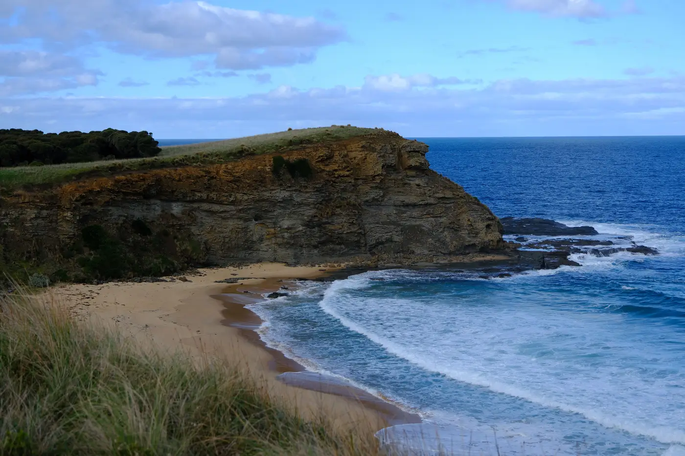 How many years of shoreline imagery before a retreat rate holds up?
Minimum record length for erosion rate analysis, why short datasets give unreliable retreat rates, and how the confidence interval narrows with more years.
- 9 Nov 2026
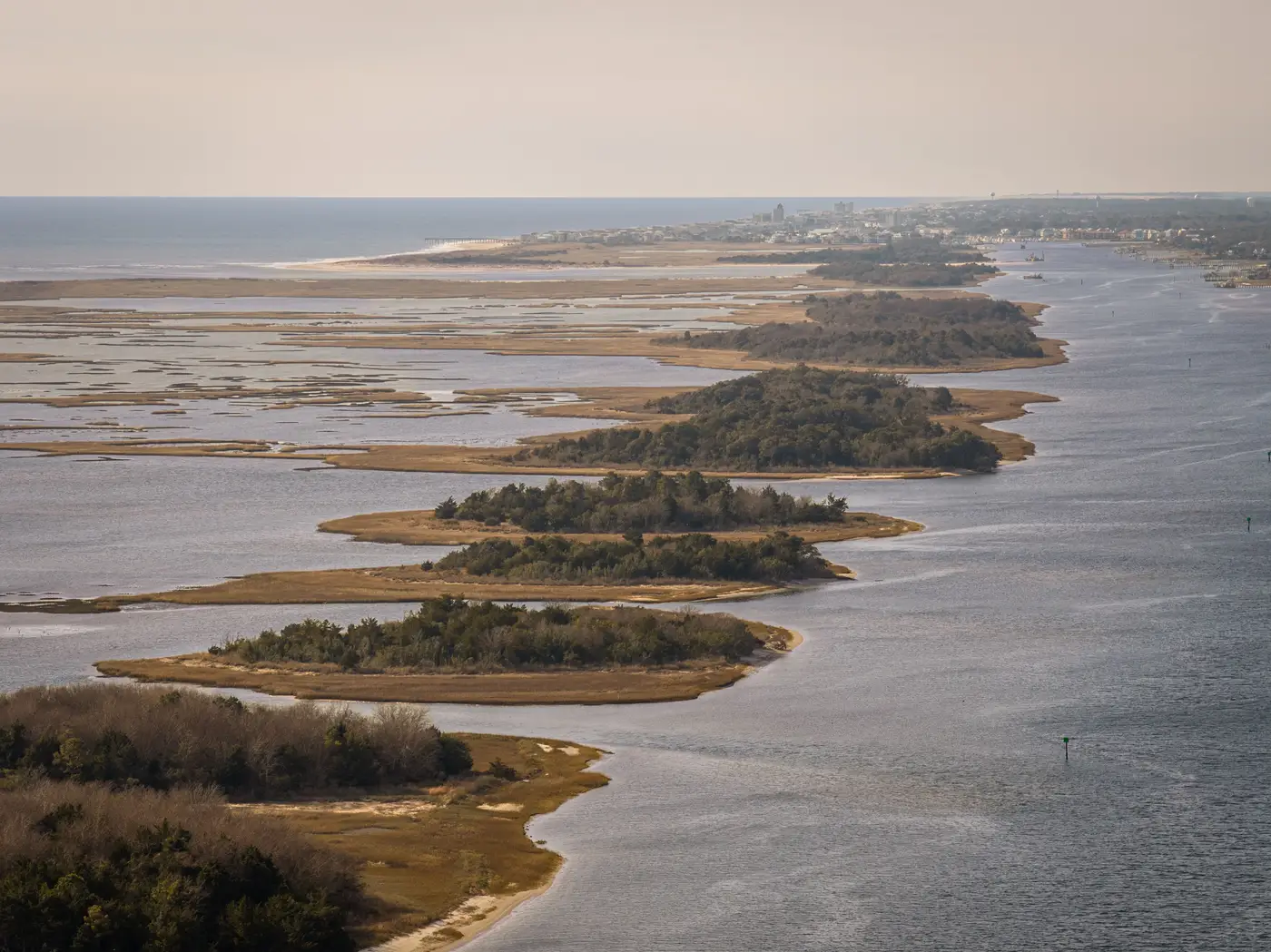 What is a sediment budget, and why your shoreline management plan needs one
A plain-language look at sediment budgets, sediment compartments, and longshore transport, and why an SMP built without one is a guess dressed up as policy.
- 2 Nov 2026Field notes: the winter a single storm erased a decade of accretion
A field-notes look at how one winter storm wiped out ten years of dune accretion, and why annual waterline comparisons are the only way to catch it.
- 2 Nov 2026Jetty vs. groin: how to tell them apart in satellite imagery
How to tell a jetty from a groin in satellite imagery by reading the updrift accretion and downdrift erosion pattern around shore-normal structures.
- 26 Oct 2026Budgeting a renourishment cycle from annual shoreline change data
A practical method for turning annual shoreline change data into a sand volume estimate and a renourishment interval you can defend in a budget hearing.
- 26 Oct 2026Coastal construction control line vs. shoreline setback line
Coastal construction control lines, shoreline setback lines, and erosion control lines explained, and why none of them track the actual waterline.
- 19 Oct 2026DSAS vs. satellite-derived waterline extraction: what's the difference?
DSAS crunches shoreline rate statistics. Waterline extraction is how you get the shoreline vectors it runs on. Here's how the two fit together.
- 19 Oct 2026Field notes: the inlet that moved faster than anyone's model said it would
Why tidal inlets keep outrunning the models built to predict them, and what an annual waterline record catches.
- 14 Oct 2026How to prioritize which shoreline segments get a seawall permit review first
A method for ranking seawall and armoring permit applications by measured retreat rate, not whichever file landed on top of the stack.
- 14 Oct 2026Vegetation line vs. waterline: two different shoreline indicators
Vegetation line and waterline measure different things in shoreline mapping. Here's what each one captures and when to use which for retreat tracking.
- 13 Oct 2026EPR vs LRR: which shoreline change rate should you report?
EPR and LRR can disagree by a meter a year on the same transect. What each metric measures, and when DSAS favors one over the other.
- 13 Oct 2026How to pick transect spacing for a shoreline change study
A practical guide to setting transect interval in shoreline change analysis, from littoral cell scale to armored segments.
- 8 Oct 2026Hard armoring vs soft shoreline stabilization: what the data actually tracks
A look at what retreat and accretion data actually show when comparing revetments to living shorelines, segment by segment.
- 8 Oct 2026How to set a shoreline setback line from historical erosion rates
How coastal programs calculate a shoreline setback line from historical erosion rates, and why a consistent annual record matters.
- 8 Oct 2026Mean high water line vs. wet-dry line for waterline extraction
How MHW and the wet-dry line differ as shoreline indicators, and why one is easier to pull consistently from annual imagery.
- 8 Oct 2026What is a shoreline baseline in transect-based erosion analysis?
A plain explainer on shoreline baselines, transect spacing, and baseline offset distance for DSAS-style erosion rate work.