Hard armoring vs soft shoreline stabilization: what the data actually tracks
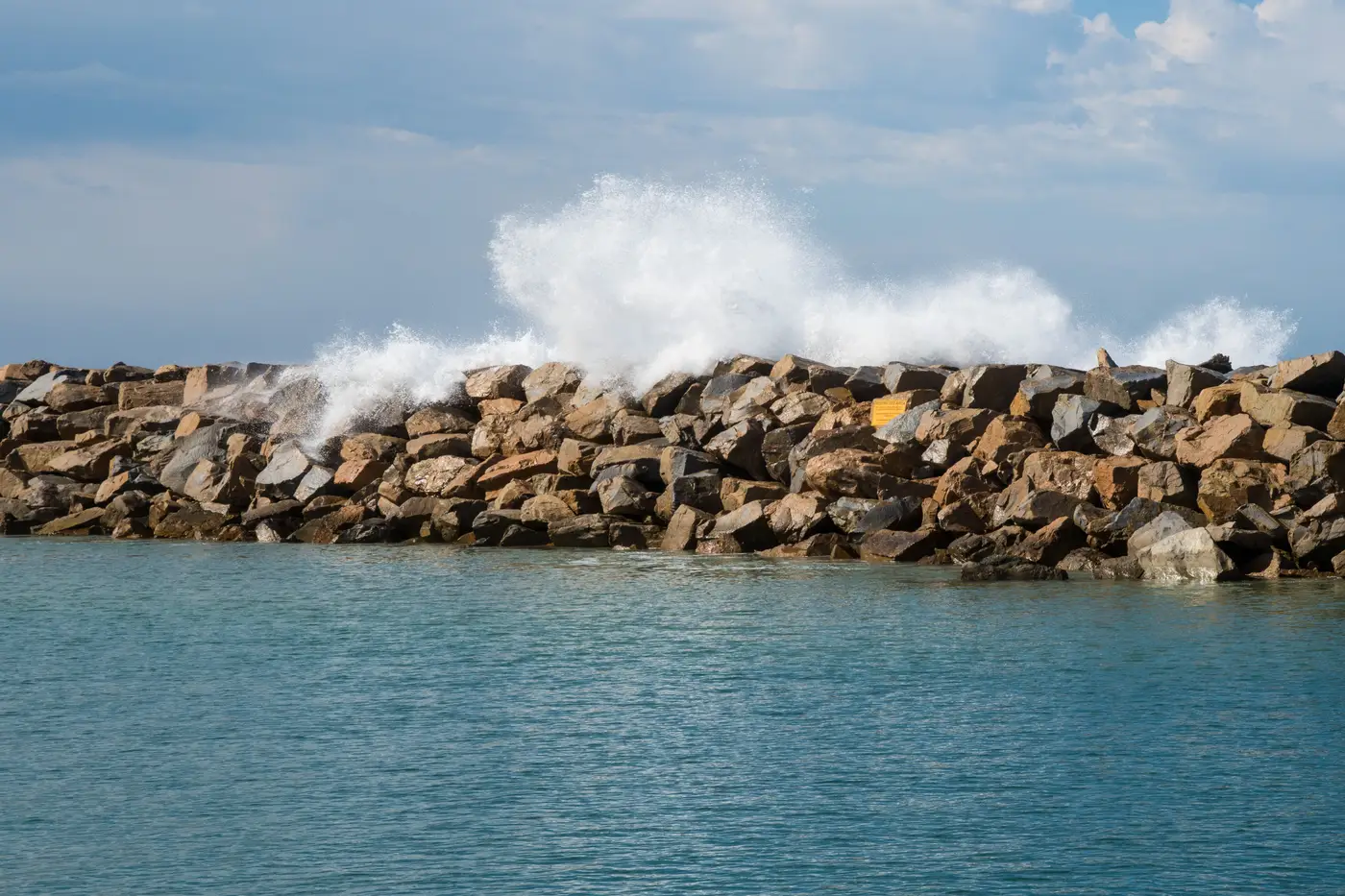
A stabilization decision usually lands on your desk already half-argued. The property owner wants a revetment because it's permitted elsewhere on the reach. The resource agency wants a living shoreline because the marsh habitat goal is in the plan. Both sides cite "the data." Often neither side has the same dataset, which is how a staff report ends up with two conflicting numbers for the same stretch of beach.
It helps to separate what each stabilization type is designed to do to the shoreline position, and what kind of record you'd need to confirm it's doing that.
Two different relationships to the waterline
Hard armoring, a revetment, bulkhead, or seawall, is built to hold a fixed line. That's the engineering goal: stop the waterline from moving landward at that specific segment. When it works, your retreat rate at the armored segment flattens out, sometimes to near zero. What armoring doesn't do is add beach.
The toe of a revetment typically sees passive erosion over time as the beach in front of it narrows, because the structure removes the sediment supply that used to come from the eroding bank behind it. That's a documented mechanism. Confirming it on a given reach means tracking the beach width in front of the structure over multiple years, since the structure's position alone won't show it.
Soft or nature-based stabilization, marsh sills, living shorelines, vegetated toe fill, aims to establish a feature that traps sediment and gains elevation. The expected signal is accretion: a seaward-trending waterline over the monitoring period. Early on that trend can be small and easy to lose in year-to-year noise, especially after a storm season knocks back new plantings before roots establish.
Neither of those signatures shows up in a single site visit or a before/after photo pair. They show up as a rate, measured the same way, across enough years to separate trend from weather.
The part that gets missed: the segments next to the project
The comparison planners most often skip is what happens just outside the project footprint. Hard structures can produce flanking erosion, accelerated retreat on the unarmored segments immediately updrift or downdrift, as the structure interrupts longshore sediment movement. If your monitoring only covers the armored segment itself, you'll report a stabilization success while the two segments next to it are quietly getting worse. A complete record breaks the reach into segments, including the ones just outside the project, and tracks each one on the same annual cycle so a reviewer can see the whole pattern, not just the part the applicant wants highlighted.
This is the practical argument for an annual waterline extraction run the same way every year rather than piecing together whatever ground surveys or drone flights happened to get done on a given segment. If you're building a segment-by-segment record of retreat and accretion without resending survey crews to every mile of shoreline under review, consistency in how the waterline gets pulled matters more than any single year's resolution. A method that drifts between years, different tide stage, different sensor, different analyst drawing the line by eye, will produce a rate that's partly real and partly artifact. You won't be able to tell which is which until a permit renewal or a grant audit asks you to defend the number.
What this means for the staff report
A stabilization comparison matters less for which method is involved than for what three to five years of consistent waterline position show for this segment and its neighbors. A revetment with a flat retreat rate but narrowing beach width is a different outcome than a living shoreline showing slow but steady accretion, and both are different from a project where the adjacent segments erode faster after construction. The data doesn't settle the debate by itself. It shows which argument the applicant is making.
If you're assembling that kind of segment record for a stretch of coast up for a stabilization decision, see how Shoreline Change builds the annual waterline layer behind it.