Jetty vs. groin: how to tell them apart in satellite imagery
Pull up a satellite pass of any inlet and you'll see a line jutting out from shore, sand pooled up on one side, a bite taken out of the other. The question that comes up on nearly every call with a town engineer or a new planning board member: is that a jetty or a groin? They look almost identical from orbit. The length, the straight shore-normal line, the way the shoreline kinks around the end. But the sediment pattern around them tells a different story once you know what to look for.
What actually separates the two
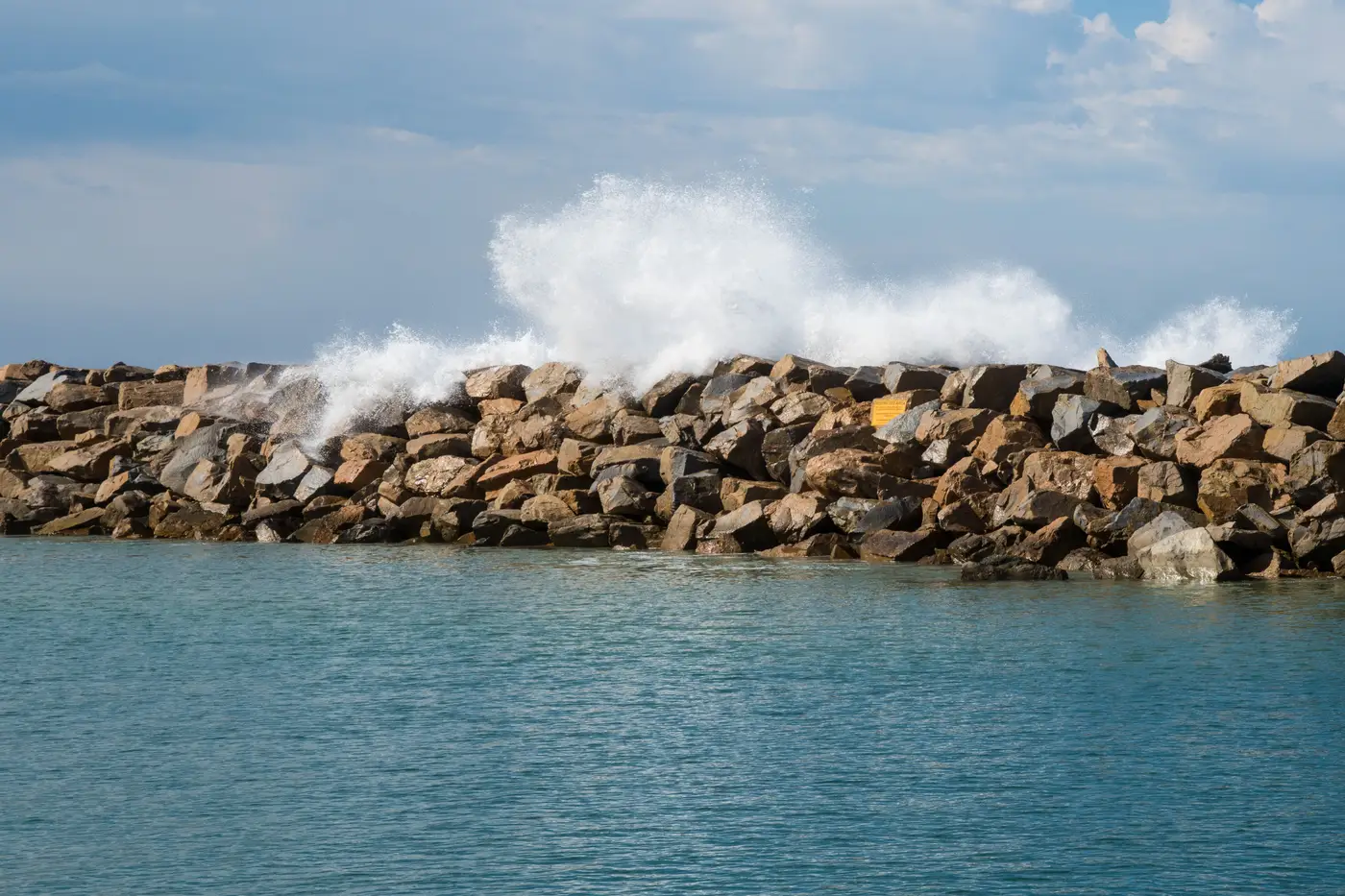
A jetty is built to protect a navigation channel, usually paired with a twin on the other side of an inlet, often rock or concrete, and it can run out hundreds of meters past the surf zone. A groin is shorter, usually solo or part of a field of similarly spaced structures, and it's built purely to hold beach sand in place. Neither structure announces itself by name in an image. You're reading function from form, and from what's happening to the sand around it.
Length alone won't settle it. Short jetties exist at small craft inlets, and groin fields sometimes get built out longer than you'd expect where longshore drift is heavy. What narrows it down fast: is there a channel on one side that boats clearly use? Is there a matching structure directly across the inlet mouth? If yes, you're almost certainly looking at a jetty pair. If it's a single structure, or a row of evenly spaced ones along an open beach with no channel in sight, that's a groin field.
Reading the sediment signature
This is where shore-normal structures earn their keep as a diagnostic tool, and it's also the detail most planners actually care about. Sediment moves along the coast in one dominant direction, driven by the prevailing wave angle. Hit that drift with a structure sticking out perpendicular to the shore and sand piles up on the updrift side. The shoreline there bulges seaward, sometimes visibly within a single annual pass. On the downdrift side, the same structure starves the beach of sand that would have kept drifting past, and you get a notch, a pinch, sometimes a full retreat back to the toe of a dune or seawall.
That asymmetry, fat on one side and thin on the other, shows up the same way whether the structure is a jetty or a groin, because the physics doesn't care what the structure is called. What differs is scale and intent. A jetty pair at an inlet can starve a downdrift beach for kilometers, because it's often cutting off an entire littoral cell. A groin, or a field of them, tends to produce a shorter, saw-tooth pattern: a repeating bulge-pinch-bulge rhythm running down the beach, each tooth sized to the spacing between structures.
Knowing which one you're looking at changes how you read the rest of the shoreline. If a downdrift segment is eroding and the cause is a jetty, that erosion is likely a structural condition tied to channel maintenance decisions well outside your control. If the cause is a groin field, the pattern is more local and often reversible through nourishment or by adjusting the field itself.
Why this matters for tracking change over time
None of this is a one-time read. The updrift bulge and downdrift notch shift year to year as storms move sand through the system, structures get extended or pulled, and nourishment projects reset the baseline. A planner setting retreat and accretion rates for a segment needs to know whether a shore-normal structure sits inside it, because that structure will skew the numbers for anything downdrift. Drawing segment boundaries around these structures, rather than straddling them, keeps the rate calculation honest.
That's the kind of segment-by-segment waterline tracking Shoreline Change is built to produce from an annual high-res pass, year after year, without sending a crew back out to re-survey the ground. If a stretch of your coast has jetties, groins, or both, it's worth seeing how the rates hold up once those structures are accounted for.