Coastal construction control line vs. shoreline setback line
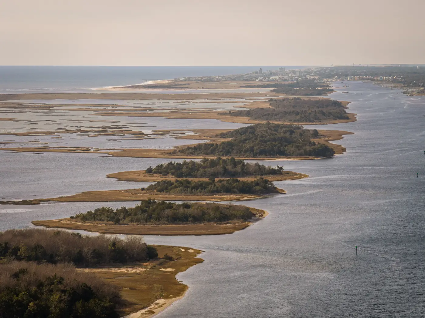
If you work on permits or setback ordinances long enough, you'll hit the moment someone conflates a coastal construction control line with a shoreline setback line, or asks why the "erosion control line" on an old survey doesn't match either one. They're related, but they're not interchangeable, and mixing them up in a staff report is the kind of thing a permit attorney will catch.
What a coastal construction control line actually marks
A coastal construction control line (CCCL) is a regulatory line, not a shoreline position. A state agency establishes it after an engineering study of wave action, storm surge potential, and long-term erosion trends for a stretch of coast. Seaward of the line, new construction needs a special coastal permit with added design and siting requirements; landward of it, ordinary local building rules apply.
The key thing for planning staff: a CCCL doesn't move every time the beach does. It's set (and occasionally re-studied and adjusted) based on a hazard analysis, so a beach can accrete or retreat for years without the control line itself being redrawn. That's by design. It's a hazard threshold, not a survey of current conditions.
How a shoreline setback line differs
A shoreline setback line is usually a local zoning or building-code requirement: a distance a structure must sit landward of some reference feature, often the erosion control line, the mean high water line, or in some jurisdictions the CCCL itself. Setbacks are typically expressed as a fixed number of feet, sometimes scaled to lot depth or dune height, and they're the number a property owner's architect designs against.
Where this gets confusing is that a coastal construction setback can reference the CCCL as its baseline in one county and reference a different line entirely two counties down the coast. There's no single national definition. If you're drafting or reviewing an ordinance, the first thing to pin down is which line the setback is measured from, because that answer changes depending on which jurisdiction wrote the code.
Where the erosion control line fits in
An erosion control line (ECL) usually shows up after a beach nourishment or renourishment project. When public money goes into rebuilding a beach, the agency typically fixes a line, surveyed and recorded, that marks the boundary between public and private land going forward. It replaces the natural mean high water line as the legal property boundary and also becomes the fixed point many setback calculations measure from afterward.
So you end up with three different lines that can sit in three different places along the same stretch of sand: the CCCL (hazard-based, state-set), the setback line (local code, measured from some baseline), and the ECL (surveyed, fixed at the time of a nourishment project). None of them track where the water sits this year.
Why the gap between regulatory lines and the real waterline matters
All three of those lines are fixed or slow-changing by design. The real waterline isn't. A segment of beach can lose ten feet of dry sand in five years while sitting comfortably landward of every regulatory line on the books, and a permit reviewer working off the CCCL or setback line alone has no way to see that happening until someone notices the dune scarp from the parking lot.
That's the gap a lot of coastal authorities end up filling with ground surveys: send a crew out, shoot the waterline, repeat it next year, try to keep the method consistent enough to compare. It works, but it's slow and expensive to run every segment, every year. An annual high-res pass that extracts the same waterline consistently year over year gives you a retreat or accretion rate per segment without putting a crew on the sand each time, so the regulatory lines and the shoreline position stop living in two separate conversations.
Next time someone on your staff asks which line a setback is measured from, you'll at least know it's the wrong question to answer with a guess. If you also want a clean record of where the water sat each year, that's worth a look.