Vegetation line vs. waterline: two different shoreline indicators
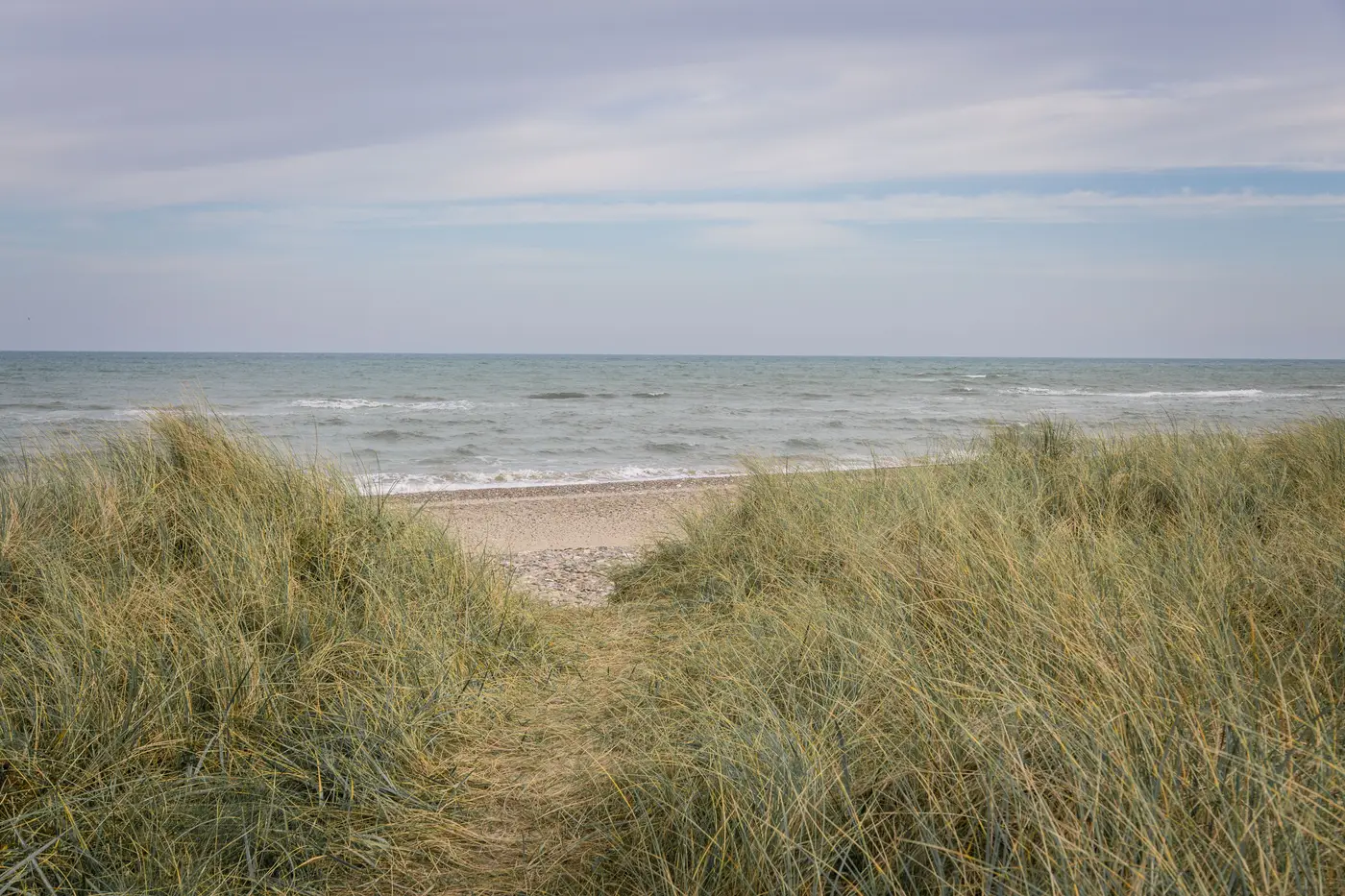
If you've sat through a coastal hazard workshop, you've heard both terms thrown around like they're interchangeable. They're not, and mixing them up is how a shoreline change rate ends up wrong by a decade's worth of noise.
The waterline is the edge of the water at the moment an image or survey was taken. It's whatever the swash left behind. Tide stage, wave runup, even wind setup all move it, sometimes by tens of meters on a flat beach between one pass and the next. The vegetation line is something else entirely: the boundary where perennial dune or backshore vegetation takes root, usually grasses like sea oats or American beachgrass, marking where sand has been stable long enough for plants to establish. Storms, overwash events, and multi-year accretion or erosion trends move that boundary; ordinary tides have no effect on it.
That's the whole distinction in one sentence, but the implications for mapping work are bigger than they sound.
Why one is noisy and the other isn't
A waterline pulled from a single image is a snapshot of that day's water level, not a stable position you can compare year over year unless you control carefully for tide stage and wave conditions at capture time. Run the same stretch of beach through ten different passes at ten different tides and you'll get ten different lines, none of which tell you much about long-term retreat or growth on their own.
The vegetation line filters a lot of that out. Dune grass doesn't creep back and forth with the swash. Once it's established, it holds its ground until something removes the sand underneath it, a nor'easter, a hurricane overwash fan, chronic erosion eating into the foredune toe. That's why a lot of regulatory setback programs anchor erosion hazard areas to the vegetation line or the dune toe rather than to instantaneous water position. It's the more stable proxy for where the beach system actually sits over a planning horizon.
The tradeoff is that vegetation lines are harder to digitize consistently. Two interpreters tracing the same aerial photo by hand will draw slightly different lines depending on how they read sparse grass clumps versus bare sand, especially after a storm has knocked vegetation back without fully burying it. Waterlines, for all their tidal noise, are at least a sharp physical edge a computer can find.
Picking the right indicator for the job
If the question is "how far did the shoreline move this year," the answer depends on what's driving the change and what proxy you can extract the same way every time. On a beach with a well-established, continuous vegetation line, that boundary gives you a cleaner long-term retreat signal with less tide correction to worry about. On a beach where vegetation is sparse, seasonal, or regularly scraped by nourishment projects, the waterline from a consistent annual capture, same rough tide window, same sensor, same time of year, often tracks the trend just as well without the interpretation headaches of sparse dune grass.
Dune vegetation line mapping done by hand, whether from GPS walking surveys or manual digitizing of orthophotos, has always been the slow part of a shoreline change study. It's also where inconsistency creeps in fastest, since the line depends on judgment calls about what counts as vegetated versus not, and those judgment calls change interpreter to interpreter and year to year.
What makes a shoreline change program defensible over time isn't which indicator you pick. It's whether you extract it the same way, year after year, off comparable imagery, so the segment-by-segment rate you report is measuring real movement and not measurement drift. That consistency is the whole point of running the same annual high-resolution pass over your stretch of coast and pulling the waterline out of it the same way every time, rather than re-fighting the vegetation-versus-waterline question on every budget cycle.
If your agency is tracking retreat and accretion rates by segment and wants that extraction done consistently instead of re-litigated every year, that's exactly what Shoreline Change is built for.