Dune toe vs. waterline: why coastal planners track two separate lines
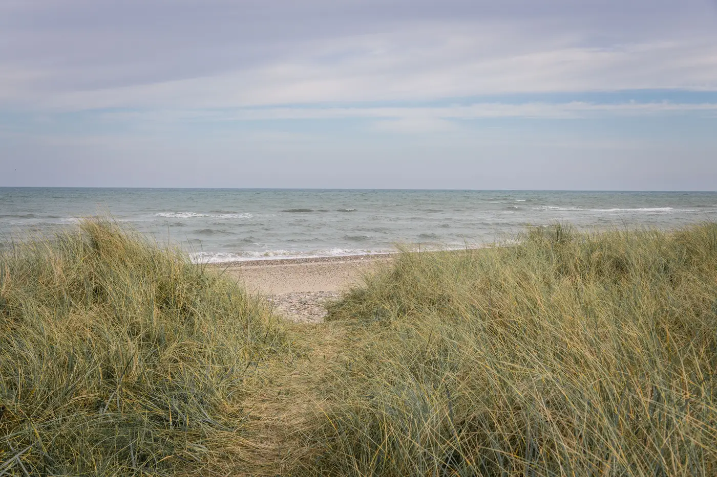
Coastal planners who've sat through a shoreline management plan hearing know the argument. A homeowner points to the wet sand and says the beach is fine, while the dune behind their lot lost ten feet of scarp in the last storm season. Both of them are looking at the same stretch of coast and describing two different features. One is the waterline. The other is the dune toe.
What the dune toe actually marks
The dune toe is the break in slope where the beach face meets the base of the foredune or dune scarp. Below it is beach, reworked by every tide and swell. Above it is the dune system, vegetated and built up over seasons rather than hours. Survey programs often pin the dune toe to a specific elevation contour rather than eyeballing "where the slope changes," because that's what lets two different surveyors, on two different dates, under two different tide conditions, call it the same line a year apart.
That elevation anchor is also what makes dune toe data useful for setback calculations and structure vulnerability work downstream. A slope break that moves depending on who's walking the transect that week isn't a line you can build a hazard zone on.
Why the waterline won't stand in for it
The waterline is the instantaneous edge of water on sand at the moment of capture. It swings with the tide stage on the day, the wave run-up, and the season: summer berms push it seaward, winter storms pull it back. A single annual pass captures one waterline position, and even a program that standardizes carefully for tide stage still carries more day-to-day noise than a planner wants baked into a long-term dune retreat figure.
Regional programs track the two lines on separate schedules, often with separate methods entirely, because each one answers a different question. The waterline tells you what the beach is doing this year, which is the number behind accretion and erosion rates per segment, nourishment volume checks, and recreation planning. The dune toe tells you what the protective landform behind the beach is doing, which is the number that feeds hazard setback lines and whether a storm season ate into the buffer protecting the road or the first row of houses.
Where the two numbers pull apart
A beach can accrete at the waterline in a given year, sand pushed back up from an offshore bar, while the dune toe keeps retreating from a scarp the last storm cut that never rebuilt. Report only the waterline trend for that segment and you'd call it stable. Report only the dune toe and you'd miss that the active beach is actually widening underneath it. Most erosion hazard studies that hold up under review report both lines on their own cadence rather than collapsing them into one "shoreline position" number.
Monitoring dune toe position without a full survey crew
Historically, getting dune toe position meant an RTK-GPS transect crew or a lidar flight, both of which deliver the elevation precision the definition needs but come with a crew day or a flight contract attached. That cost is a big part of why dune toe monitoring often runs on a longer cycle than planners would like, sometimes triggered only after a named storm rather than sitting on a fixed annual schedule.
The waterline side of the ledger is the half that's easier to pull from a consistent annual image, and it's the half Shoreline Change is built for: extracting that line from the same high-res pass every year so a segment-by-segment retreat or accretion rate doesn't depend on who walked the beach that week. If an annual waterline layer is the piece your shoreline management plan is currently missing, see what Shoreline Change delivers each year.